Introduction
AGILE, the Association of Geographic Information Laboratories in Europe, organizes an annual conference that serves as a platform for researchers, practitioners, and industry professionals to exchange knowledge and insights in the field of geoinformation. This conference plays a significant role in shaping the future of geographic information science and its applications. This year’s conference has “Geographic Information Science for a Sustainable Future” as its main topic, and was celebrated in Glasgow, UK, on 4-7 June 2024. In this blog post, we will provide a brief overview of the AGILE 2024 conference and its significance in the context of geoinformation.
Key Takeaways
Geoinformation projects heavily rely on data sources, and at the AGILE 2024 conference, it was evident that OpenStreetMap is the most commonly used. However, it is worth noting that Open Government Data (OGD) sources, and remote sensing data also play a significant role. The availability and quality of data sources remain crucial for the success of geoinformation research, highlighting the potential of open data as an enabler for quality research.
Notable Presentations
One notable event was the EuroSDR Workshop on “Current trends of Volunteered Geographic Information in National Mapping and Cadastral Agencies.” This workshop explored how VGI can complement and enhance traditional data sources, and highlighted the challenges and opportunities of integrating VGI into the workflows of these agencies. Presentations are available here, and an official report will come in some months.
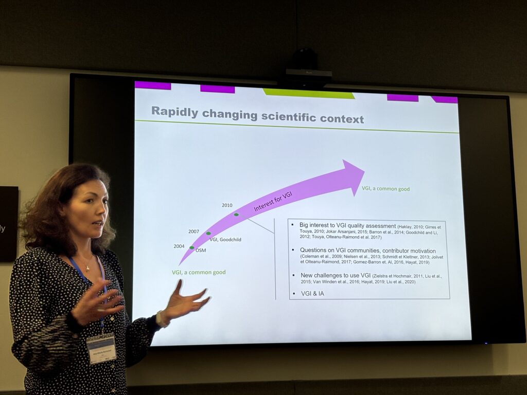
Other notable presentations included the numerous urban transportation network simulations made mostly with OpenStreetMap and OGD sources, how RNA transcripts sometimes follow spatial patterns that can be answered with geocomputation methods, and how bees communicate with their movements and tracking them can help relevant stakeholders to take decisions.
Our presentation
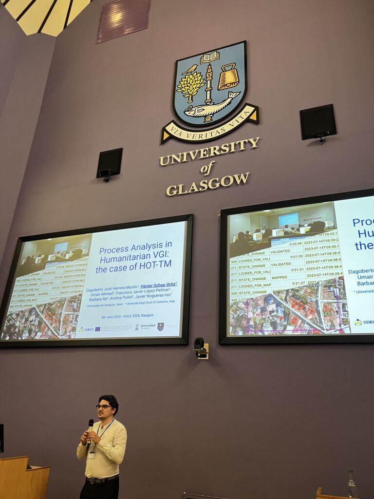
We presented a study that examines the control flow, timing, organization, and outcomes of mapping tasks in the Humanitarian OpenStreetMap Team (HOT) Tasking Manager, a tool for microtasking. Our study of the app logs revealed that there is a validation bottleneck, as well as tasks being idle for most of the time. In any case, the process is more straight-forward than expected, with 65% of traces being just one mapper, one validator, and validated. A key remark is how can 90% of beginner users can be used in the future to try and solve the bottleneck, and how can they be more engaged and stay in the project for longer. The full paper is a collaboration between the University of Zaragoza (ESR 02), and the University of Camerino (ESRs 13 & 14), and is available here.
Networking and Collaborations
The conference was very valuable in meeting fellow researchers in the Volunteered Geographic Information and GeoAI domains, as well as National Mapping Agencies. They were interested in our work, and the topics are relevant for our future papers.
Social events
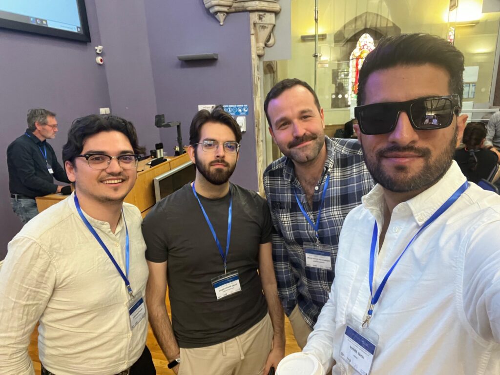
The event included also different social activities. We joined the Icebreaker Reception at Òran Mór, where we took part in traditional dances. We also did a guided tour around the historical buildings of the University of Glasgow, and attended the conference dinner at the City Chambers local government building.

Conclusion
The AGILE 2024 conference served as a valuable platform for knowledge exchange in the field of geoinformation. It emphasized the importance of open data sources and showcased various innovative presentations. The conference also fostered networking and collaboration opportunities that will help us develop our future research. We look forward to next year’s edition in Dresden, Germany.
Authors:

Héctor Ochoa Ortiz
University of Camerino

Dagoberto José Herrera Murillo
Universidad de Zaragoza

Umair Ahmed
University of Camerino